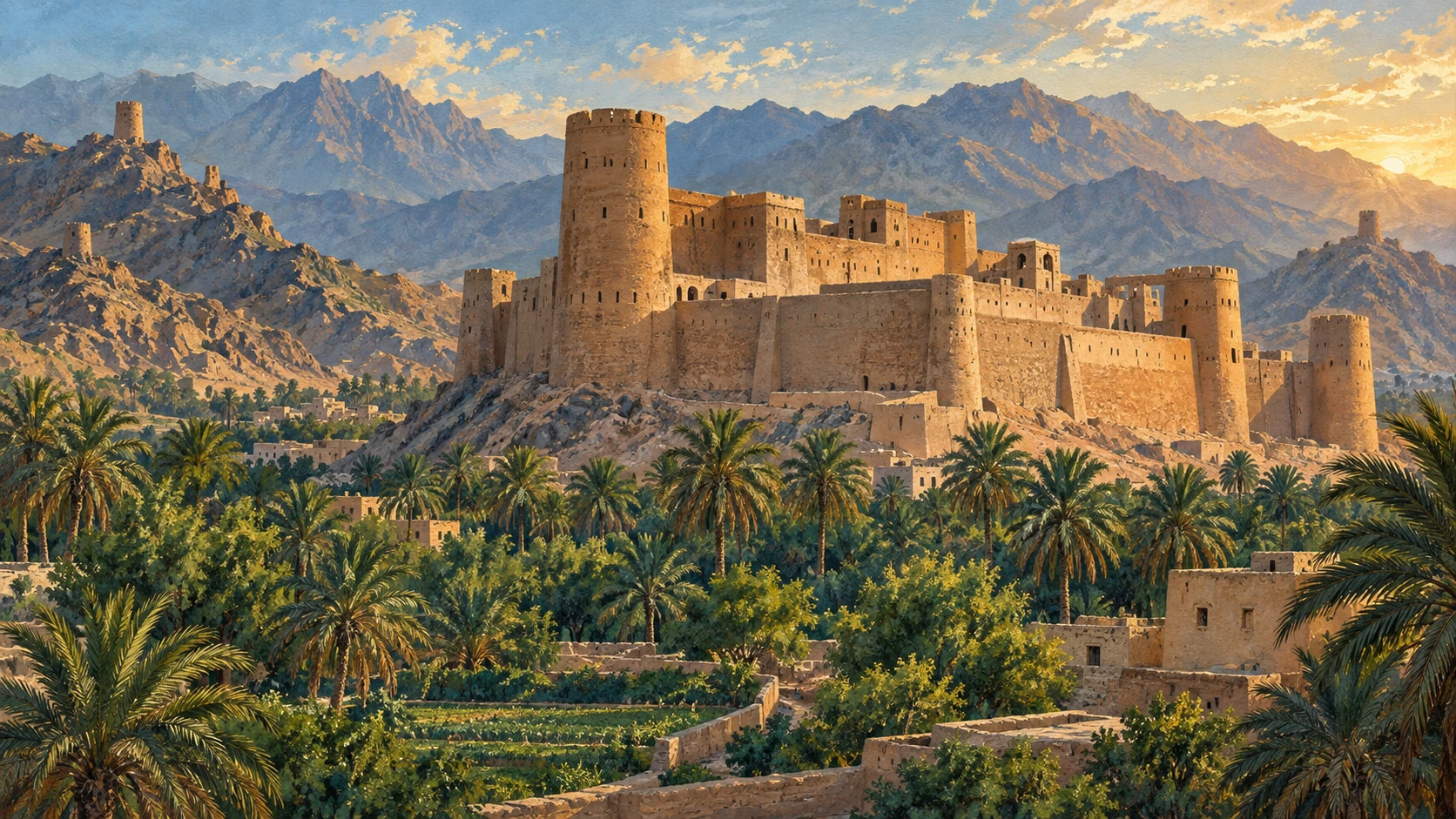
Defence within an inhabited landscape
Bahla Fort stands on a hill among palm trees in Oman's Ad Dakhiliyah Governorate. A fort is a large building or complex with strong walls, built for defence. Bahla's mudbrick walls and towers rest on stone foundations. Inside are courtyards and three main parts: Al-Qasbah, Bait Al-Jabal and Al-Bait Al-Hadith. The fort's rounded towers and battlements, the protective structures along the tops of walls, belong to a defensive style that predates gunpowder.
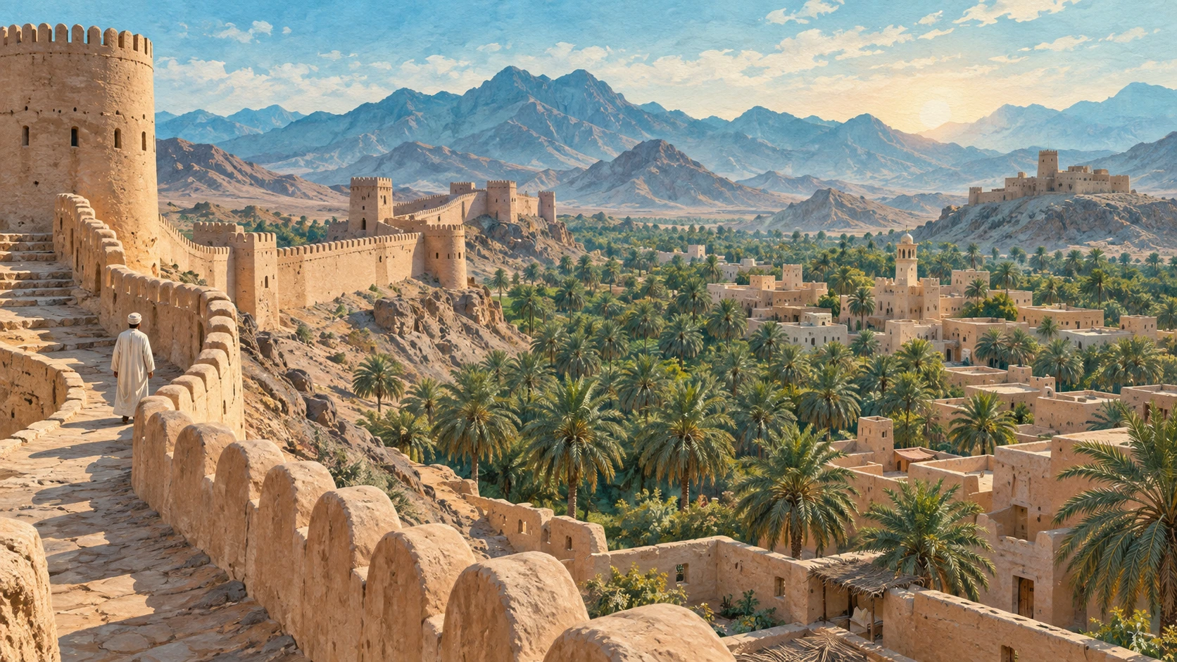
The Banu Nebhan made Bahla their capital between the twelfth and late fifteenth centuries. The fort overlooked an old market of narrow lanes and single-storey shops. Around the settlement, an outer wall enclosed homes and farmland, with gateways, watchtowers and a walkway for guards.
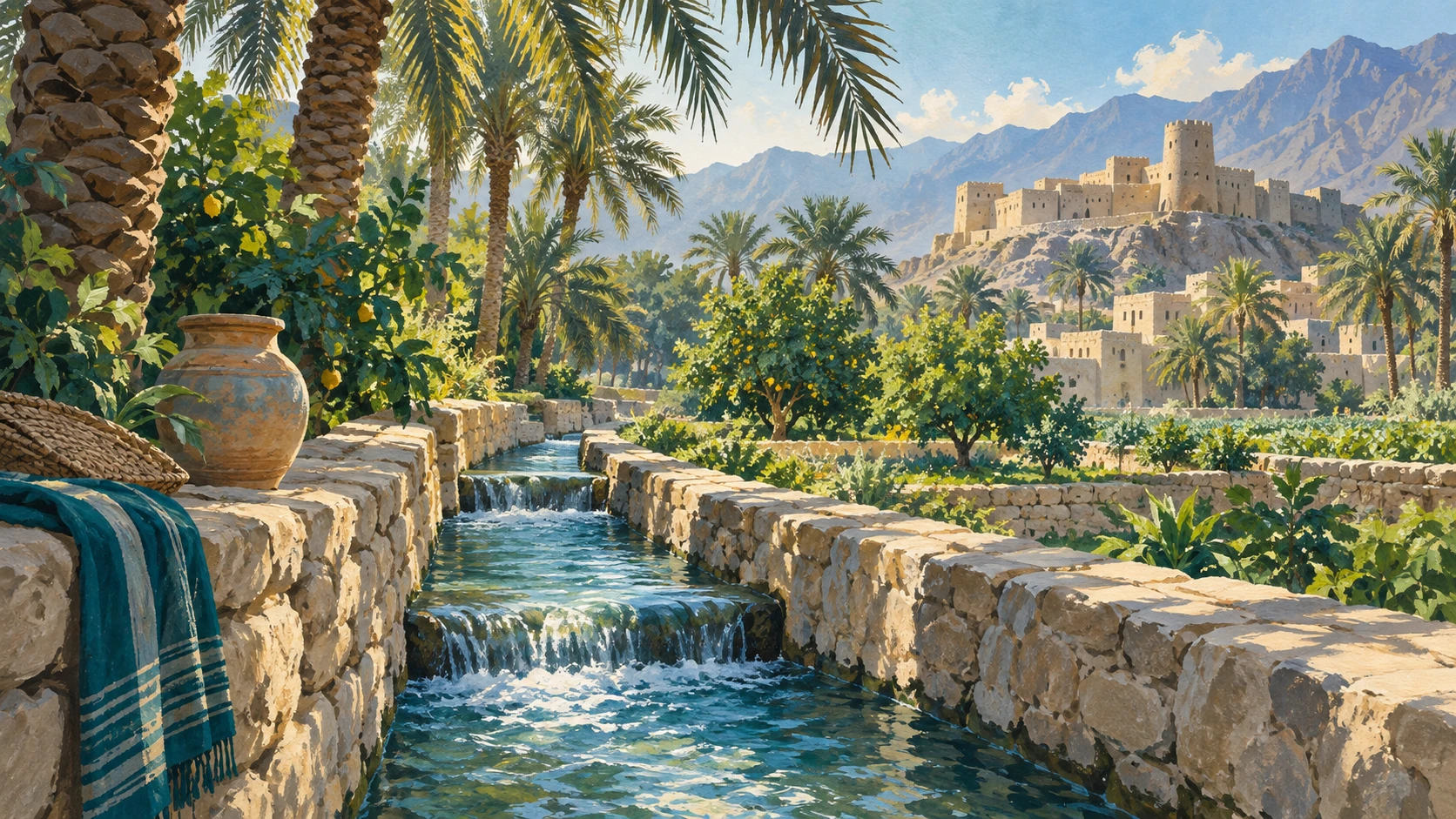
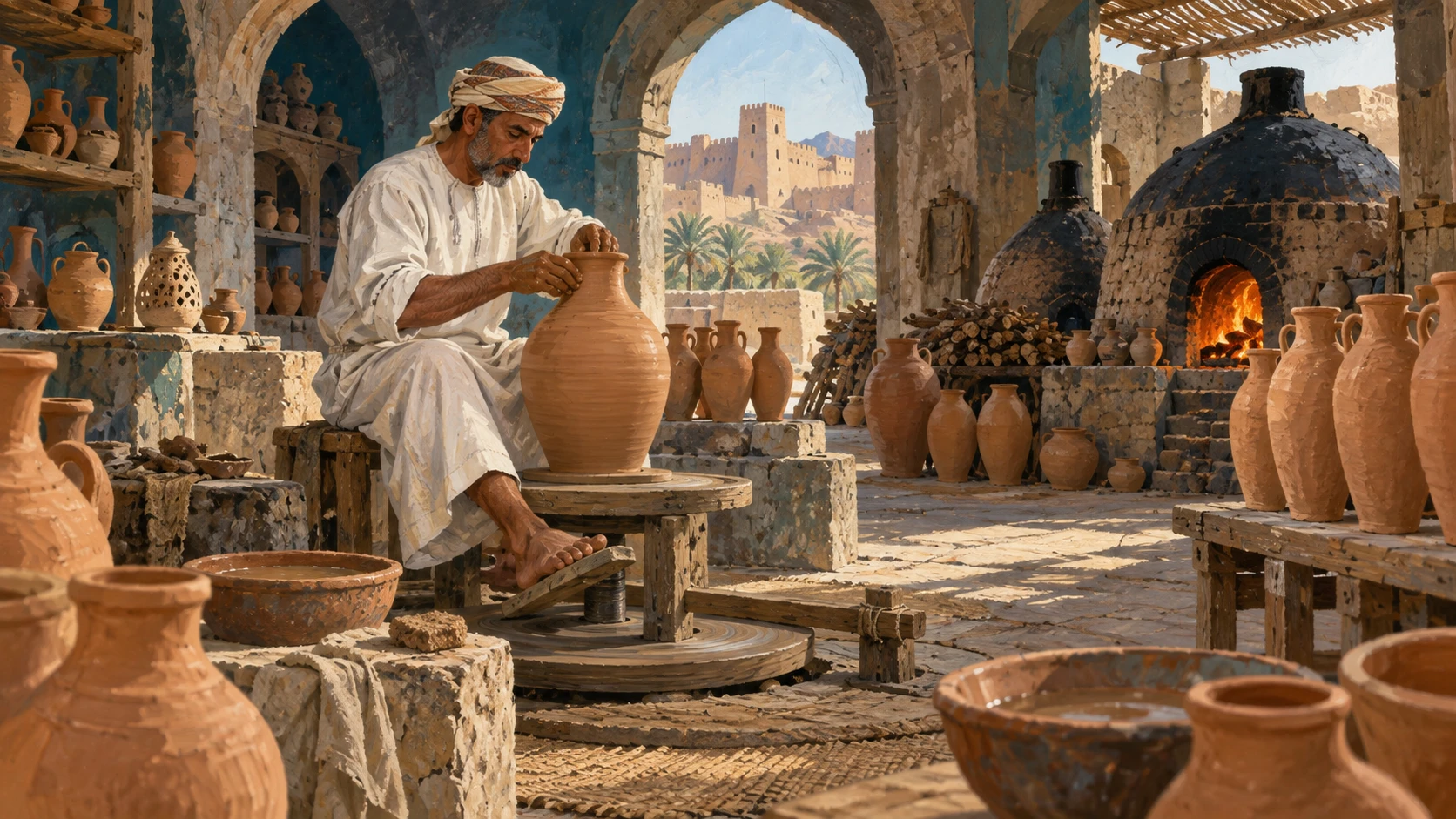
Bahla is an oasis, a place where water supports settlement and farming in dry land. In addition to homes and farmland, the walled oasis included mosques, a market and pottery-making centres. Wells and underground falaj channels brought spring water to homes and farms. Enclosing cultivated plots alongside homes suggests a relationship between defence and the settlement's material needs. The wall placed fields within a defended space, while the falaj connected places where water was available with places where it was needed. These arrangements served different purposes within the same inhabited landscape.
Repairs and decisions about development
Bahla became Oman's first World Heritage site in 1987 and entered UNESCO's Danger List in 1988. A UNESCO report published in 2004 identifies threatening development plans as a main reason for the danger listing. From 1995, documented repairs used earth-based materials, improved drainage and strengthened walls and towers. Drainage is the movement of water away from a structure. The repair programme addressed both the buildings and the way water left them.
In 2004, UNESCO removed Bahla from the Danger List, citing better management and Oman's decision to stop unsuitable modern construction near the site. Work on walls and drainage addressed existing physical features; the construction decision concerned changes proposed nearby.
What the later concerns establish
UNESCO's 2010 statement identifies decay, poor drainage and unsuitable rebuilding materials as conservation concerns. Drainage and materials also appear in the description of repairs begun in 1995, although these accounts leave unresolved whether particular defects persisted or whether the later observations concerned different parts of the site.
The concerns recorded in 2010 can coexist with the removal decision made in 2004. A later account of decay or material problems adds information about the site's condition; it does not, on its own, contradict the management improvements cited for the earlier decision.
A boundary crossed by channels and routes
In its 2010 statement, UNESCO observed that water channels and historic routes extend beyond the heritage boundary. This boundary identifies the designated area, a different spatial reference from the fort's defensive walls and the outer wall that enclosed the historic settlement.
The channels carried water to the oasis's homes and farmland, so their extension beyond the heritage boundary matters when describing how those places were connected. From this, one can infer that an account limited to buildings within the designated area would be incomplete. It could describe the condition of walls and towers while leaving part of the associated water network outside its scope. Following the channels beyond the boundary would connect that account of individual structures with the wider arrangement of the settlement's water supply.